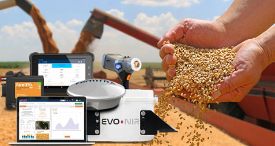
NDVI Crop Monitoring
UAV Technology | Real-Time Analysis | Field-Proven Results
NDVI Crop Monitoring. See Problems Before They Cost You Money
CSMT Agri provides complete UAV-based NDVI crop monitoring solutions that detect stress, disease, and nutrient problems weeks before they are visible to the eye.
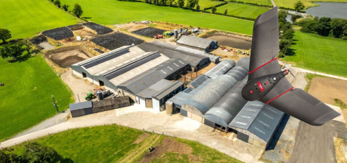
Our drone technology covers 500 acres in a single 43-minute flight, delivering actionable field maps that reduce input costs by 30%, increase yields by 25%, and give you total visibility of every acre from planting to harvest.
The Challenge
Traditional Crop Monitoring Misses Expensive Problems
Blind Spots Everywhere
Traditional scouting covers maybe 5% of your fields. You walk the edges, check a few spots, and hope everything else is fine. Meanwhile, pest outbreaks, disease patches, and nutrient deficiencies hide in areas you never visit. By the time problems become obvious, they have already spread across large sections.
Problems Detected Too Late
Wasting Inputs Blindly
the Solution
UAV Technology That Shows You Everything
MRI for Your Fields
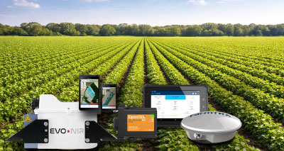
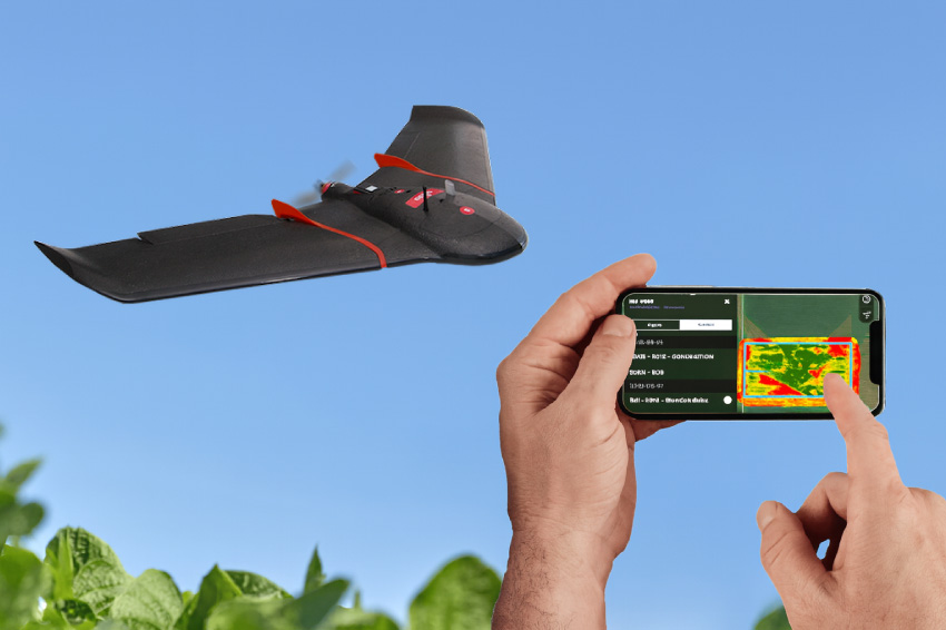
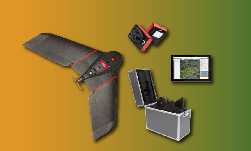
CSMT Agri provides complete UAV-based crop monitoring using NDVI (Normalized Difference Vegetation Index) technology. Our drones fly over your fields capturing both visible light and near-infrared data. Healthy crops reflect light differently than stressed crops. NDVI measures this difference and creates color-coded maps showing exactly where plants are thriving and where they are struggling.
The result is a complete health report for every acre of your operation. You see pest infestations before leaves show damage. You spot nutrient deficiencies weeks before yellowing appears. You identify irrigation problems before wilting starts. Instead of walking blind and hoping, you know exactly where to look and what to fix.
-
Complete field coverage in minutes
-
GPS-tagged problem locations
-
Problems detected 2-3 weeks early
-
Variable rate prescription maps
-
Track changes season to season
-
Expert analysis and recommendations
CSMT's 3-Step Monitoring Process
1
UAV Flight & Data Capture
2
Analysis & Problem Detection
3
Implementation & Results
Who Benefits
NDVI Monitoring Works for Every Crop
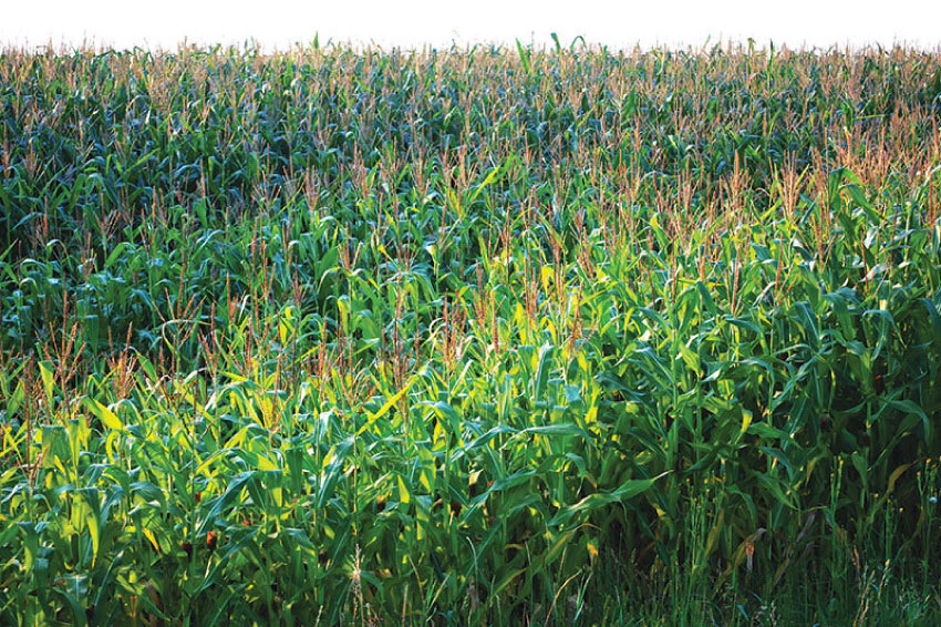
Row Crops
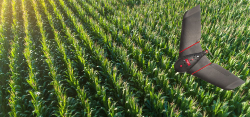
NDVI monitoring gives row crop farmers complete field visibility for variable rate nitrogen application, early disease detection, and yield prediction. Track crop development from emergence through grain fill. Identify underperforming zones and optimize inputs field by field. Kansas State research confirms drone scouting is both less labor-intensive and more thorough than conventional methods.
Orchards & Vineyards
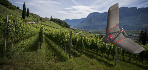
Terrain-following UAV technology maps orchards on rolling hillsides and detects stress in individual trees before symptoms are visible. Pinpoint water stress, nutrient deficiencies, and pest pressure in dense canopies. Address problems tree by tree instead of treating entire blocks. Monitor fruit development and optimize harvest timing across different elevation zones.
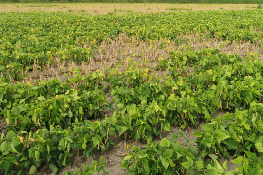
Specialty Crops
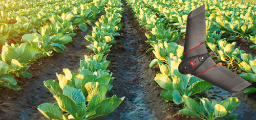
High-value specialty crops demand precise management and intensive monitoring. NDVI mapping provides the detail needed for optimal irrigation scheduling, targeted pest control, and harvest planning. Track plant emergence and stand counts early in the season. Monitor crop uniformity and maturity for timing harvest operations. Identify quality variations before harvest to optimize handling and storage.
Large-Scale Operations
CSMT serves large operations, agricultural companies, research institutions, and government agricultural bodies requiring extensive monitoring and documentation. Our solutions scale from individual farms to regional programs covering thousands of acres. We provide complete packages including UAV equipment, software, training, and ongoing technical support for organizations building in-house precision agriculture capabilities.
Professional UAV Solutions You Can Rely On
From row crops to orchards, CSMT delivers precision monitoring solutions that improve yields and cut costs
Expert Analysis
Complete Solutions
Proven Technology
Service Options
Choose How You Want to Work with CSMT

Monitoring Services
CSMT Agri’s professionals fly your fields and deliver complete analysis and recommendations. Perfect for farmers who want results without operating equipment.
-
Scheduled flights during season
-
NDVI maps and reports
-
Agronomist analysis
-
GPS prescription maps
-
Ongoing support
Complete UAV System
-
Professional UAV with sensors
-
Analysis software licenses
-
Comprehensive training
-
Technical support
-
Software updates
Technology Provider Partnership
-
Bulk equipment packages
-
Custom software integration
-
Staff training programs
-
Ongoing technical support
-
Partner program benefits
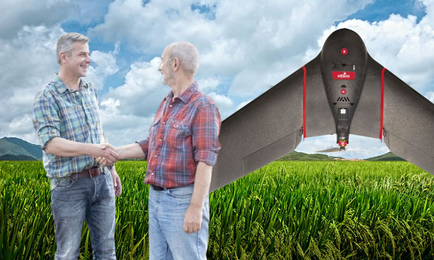
Get Started Today
Ready to See What You've Been Missing?
Contact CSMT Agri today to learn how UAV crop monitoring can help you detect problems early, reduce input costs, and maximize yields across every acre.
Please fill out the form below and our team will be happy to answer any questions you may have.